
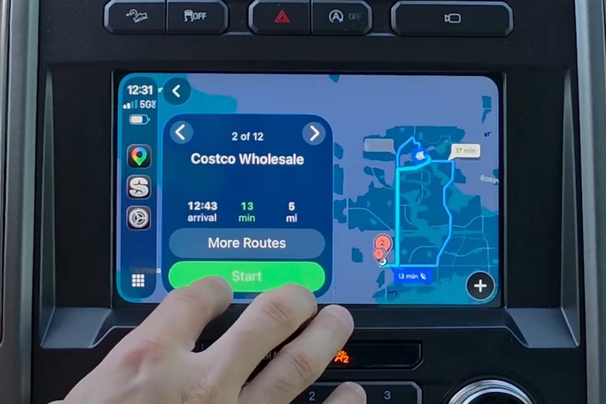


Seven billion devices now rely on GPS worldwide. That number helps explain why your morning commute shortcut through that quiet residential street no longer works.
Google Maps and its competitors have gotten measurably worse at routing drivers around traffic, and the core problem is almost absurdly simple. Too many people are using the same apps to dodge the same congestion at the same time, turning formerly obscure side streets into gridlocked nightmares.
The numbers once told a flattering story. A 2019 study calculated that between 2007 and 2017, GPS-based navigation services saved drivers 52 billion gallons of fuel and a trillion miles through smarter routing. Since the 1980s, an estimated $1.4 trillion in economic benefits have flowed from the GPS network.
Those figures are real. But they describe a system that worked when fewer people used it.
The flaw is structural. Google Maps, Waze, Apple Maps, and every other routing service calculate the fastest path based on current conditions. They do not track how many users they have already sent down a given route.
They have no visibility into where competing apps are directing their own users. So when traffic builds on a highway, thousands of phones simultaneously receive the same “clever” detour through the same neighborhood streets. Within minutes, the shortcut becomes the bottleneck.
This is a textbook case of the Braess paradox, a counterintuitive finding from network theory. Adding capacity, or in this case distributing traffic across more routes, can actually make overall flow worse when every participant acts on the same information.
City planners and residents have been screaming about this for years. Neighborhoods that never dealt with cut-through traffic now see hundreds of cars an hour barreling past schools and parks because an algorithm decided their street was 90 seconds faster than the freeway. Some municipalities have responded with speed bumps, turn restrictions, and even physical barriers.
They are fighting software with concrete.
The irony cuts deep. Navigation apps were supposed to give every driver the same insider awareness of backroads and timing that only longtime residents possessed. They succeeded so thoroughly that the advantage evaporated. When everyone has the secret shortcut, nobody does.
A potential fix exists in theory. Apps could coordinate, or at least account for how many users they are funneling onto secondary roads. They could cap the number of drivers sent down residential streets or weight routes to favor arterial roads designed for heavy volume.
But that would mean deliberately giving some users slower routes for the benefit of the network as a whole. No company competing for market share wants to be the one telling customers it chose the second-fastest option on purpose.
Google has made no public move toward that kind of fix. Waze, which Google also owns, faces the same limitation. The two services together dominate navigation in the United States, and they still operate as if each routing decision happens in isolation.
The GPS satellites orbiting overhead work flawlessly. The 31-satellite constellation delivers location accuracy within a few feet. The problem was never the hardware.
It is what happens when millions of algorithms, all optimizing for the same goal with the same data, collide on a two-lane street that was paved in 1954.
Drivers who remember the days of paper maps and memorized routes may have the last laugh. Local knowledge, the kind that accounts for school zones, construction patterns, and which streets flood when it rains, still beats an algorithm that only sees red and green on a traffic layer. The question is whether anyone under 35 still has it.



Share this Story